In a nutshell
For decades, various Earth-observing satellites have orbited the planet, collecting information on vegetation status and many other features. The data collected by many instruments aboard satellites is spatially coarse. For example, a single pixel in an image collected by the MODIS (Moderate Resolution Imaging Spectroradiometer) sensor is 250m on a side. This means that all the plants, water bodies, buildings, roads, and other features on the Earth’s surface that fall within a single pixel are collapsed into a single, mixed signal for that pixel. Large regions of consistent and continuous land cover types, such as forests or agricultural fields, yield pixels with clear identities. However, locations on the Earth’s surface with a mix of land cover types yield pixels that are more difficult to interpret. For this reason, observations collected on the ground are critically important for interpreting imagery collected via remote sensors like the MODIS instrument.
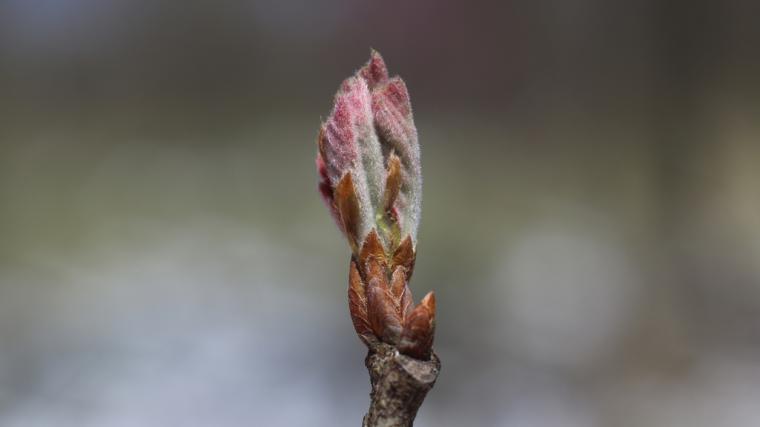
One common use of satellite imagery is to document the progression of green-up and brown-down over the course of the season. Researchers track the amount of green – or “greenness” – within individual pixels, and then use these measures to identify the start of the season – when the pixel first started showing greenness – and the end of the season – when greenness ceased.
There are numerous numerical approaches for determining the start and end of the season. In this study, a research team applied eight common approaches to identifying the dates of the starts and ends of the growing season to MODIS imagery across United States. They then compared these measurements with observations of breaking leaf buds, increasing leaf size, initial growth in grasses and sedges, all leaves fallen, and colored leaves contributed to Nature’s Notebook to validate the estimates of the start and end of season. In all, the authors used over 28,000 phenology observations contributed to Nature’s Notebook.
The different approaches to identifying the start and end of the season showed a great deal of variability in the dates returned. The date identified as the start of the season at a location varied by as much as 50 days between two approaches. Accordingly, the authors recommend using multiple methods for estimating the start and end of the season.
What is special about this study?
This study demonstrates how critically important phenology observations collected on individual plants are for interpreting information collected by satellite-borne sensors. The observations contributed to Nature’s Notebook are especially helpful in this type application for multiple reasons. First, the status protocols indicate exactly what was happening on an individual plant on a particular date – were there leaves or not? The researchers can compare these status reports to the amount of greenness shown in the imagery to better identify the start and end of the season. Second, observations collected at multiple individual plants within a concentrated area can be helpful to researchers aiming to disentangle the mixed signals that result from multiple land cover types occurring within a single pixel.
What does this mean for YOU?
The phenology observations you contribute to Nature’s Notebook are very valuable! The authors of this study emphasize this point multiple times in the paper, arguing for not only the continued collection of ground observations of phenology, but the expansion of such efforts.
Over the past decade, nearly two dozen studies have used Nature’s Notebook observations to validate and interpret imagery collected from sensors aboard satellites and aircraft, which is used in a wide range of applications including wildfire management, agriculture production, reforestation efforts, and lots more.
Citation: Xin, Q., Li, J., Li, Z., Li, Y., and Zhou, X. 2020. Evaluations and comparisons of rule-based and machine-learning-based methods to retrieve satellite-based vegetation phenology using MODIS and USA National Phenology Network data. International Journal of Applied Earth Observation and Geoinformation, doi.org/10.1016/j.jag.2020.102189.